
Sep '08 - Feb '10
To start with, I offer my deepest apologies to any motorists, bicyclists, or pedestrians who may have been disturbed by my research this morning, and thank everyone whose image I captured. I spent the morning working on how to take pictures and ride my bike at the same time, while ostensibly doing some thesis research. Every Tuesday morning (weather permitting), I plan to document more of Seattle’s bicycling network, and started today off with a quick stop by Greenlake followed by a trip down the Burke-Gilman Trail from Brooklyn Ave. (U District) to its western terminus in Ballard.
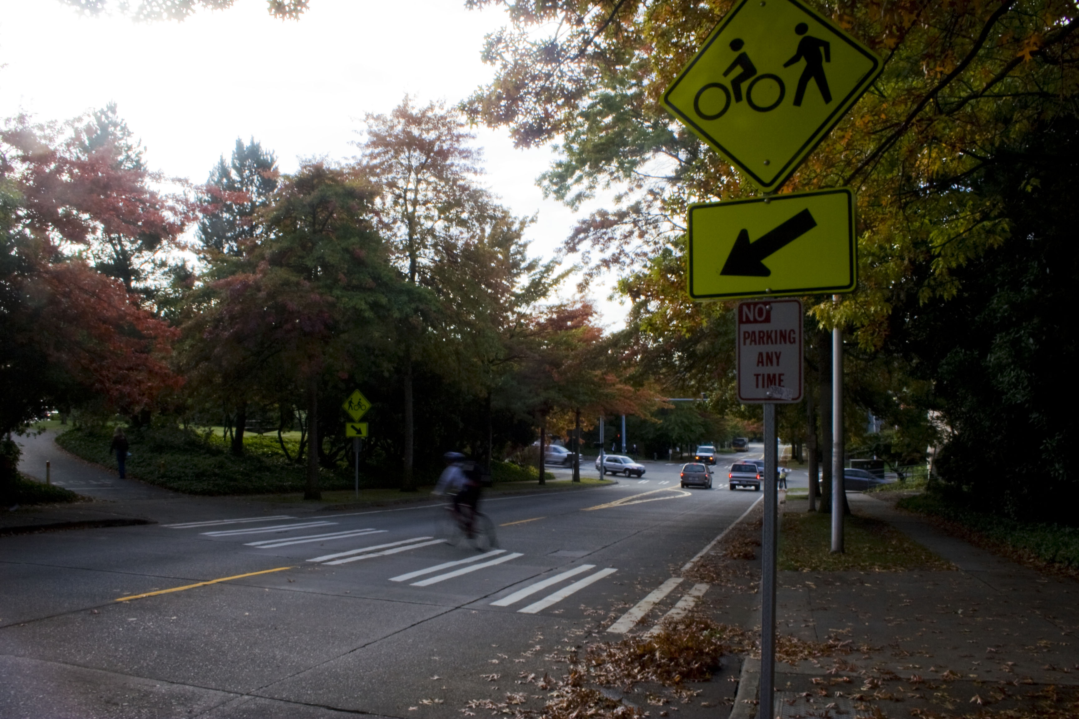
My photography started off stationary: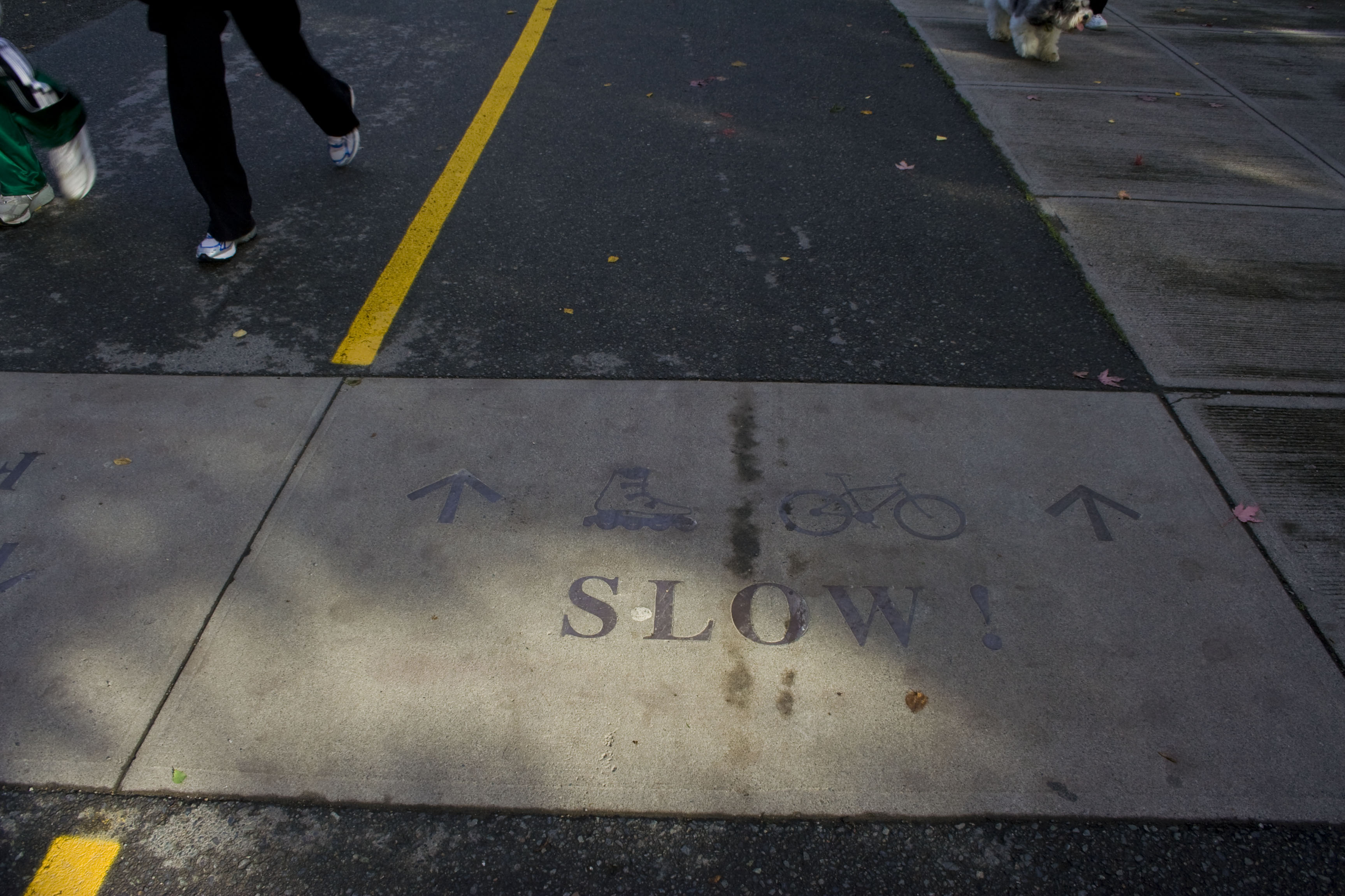
Then progressed to some trials while moving. This was definitely the most dangerous part of the research, when I was still getting comfortable handling the camera in motion: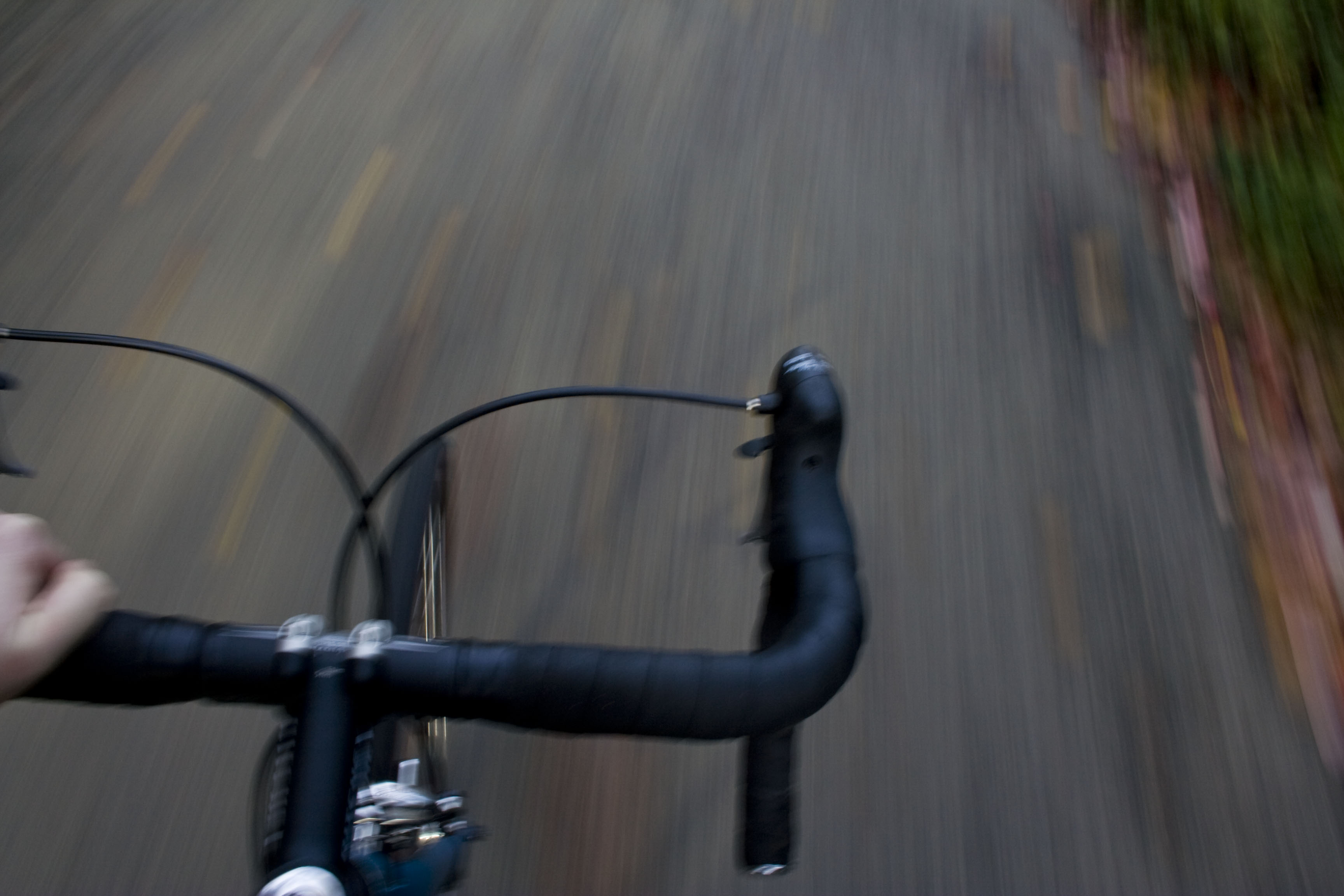
And I finally became confident enough to steer with one hand, snap with the other, and even look through the viewfinder and frame the shot most of the time: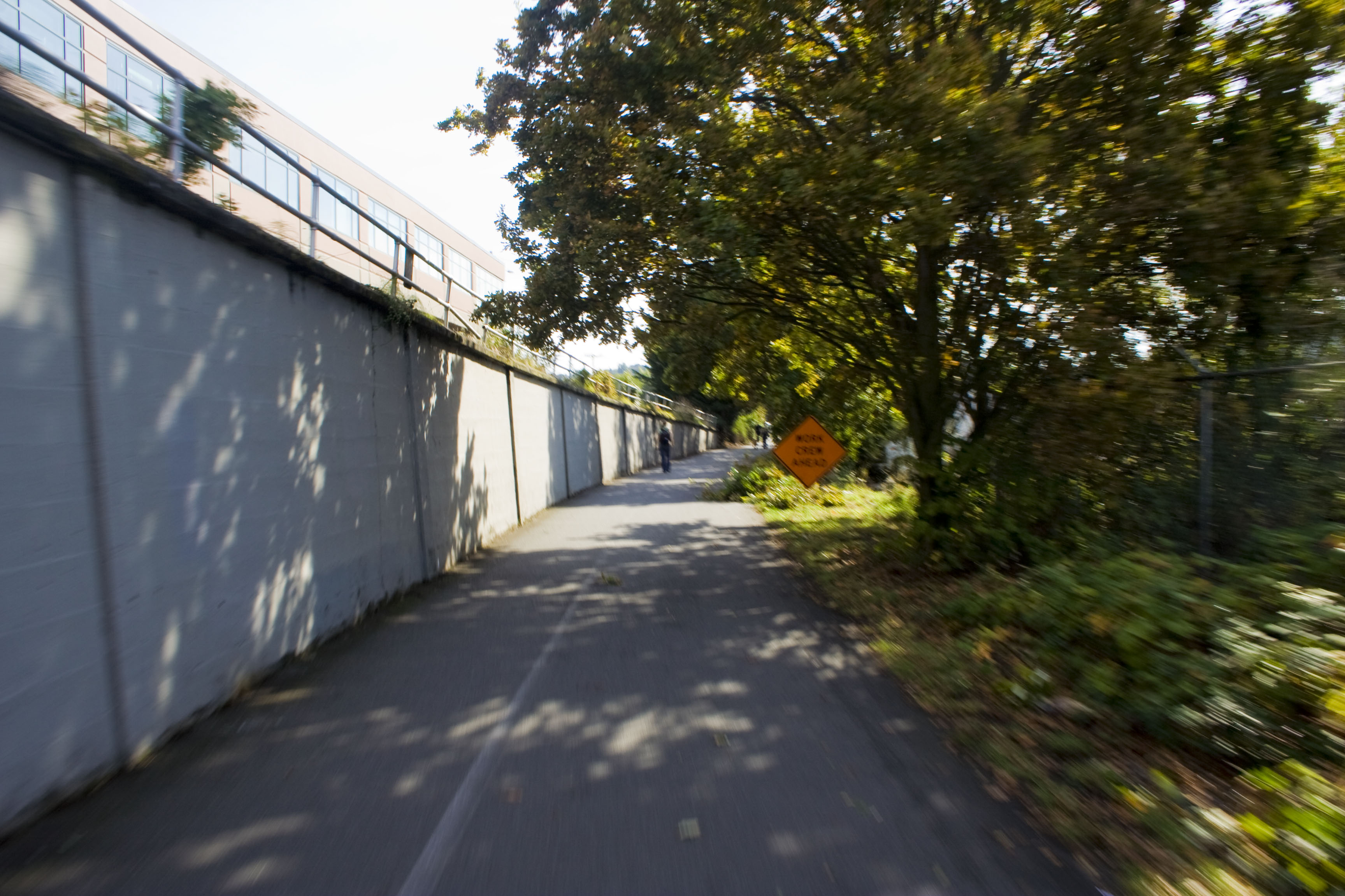
The resulting 256 images are going to be a lot of fun to go through, label, process, and analyze! Preliminary thoughts follow…
_The ground graphics are the easiest to see…. When they are well maintained.
_I finally found out what the Wall of Death is all about! Just got introduced to the Cheshiahud Loop though.
_Speaking of the Cheshiahud Loop, those new signs use quite small type, and very complex little pictograms. Several times I saw that I had passed a sign I had not been able to read, and swung around to see what it was all about.
_Bollards. They’re interesting. I’m not sure what will happen there, but I think something will.
_Why does a bike trail crossing look exactly like a pedestrian crosswalk?
_Totally missed the exit for 34th Ave in Fremont. And I was looking for it.
_There’s a whole lot of graffiti in Ballard, and the signage is not holding up well to it.
_What were those red and white striped frames in the Fremont/Ballard interstitial area? They might have been on to something there…
Next week’s plan: The Lake Union Cheshiahud Loop. I want to see the rest of those signs, and how the Fairview/Valley/Westlake intersection area has shaped up.

")
2 Comments
Erin you are absolutely crazy dodging cars and pedestrians while taking pictures of it all, but such a worthwhile endeavor. Why snapshots versus video though? By the way, I love the sign of what looks like a parent teaching a kid to ride their bike in the second image.
Well, honestly I've never worked a video camera. So that's one thing. But I figured that was ok, because the ultimate production goals for these images are 1) photoshopping some new signage in and using those images in surveys, 2) my slideshow presentation, and 3) a book. So in 2/3 of those places stills are better to work with.
p.s.- that sign is actually for a bike + pedestrian pathway, so there's one person riding, one person walking
Block this user
Are you sure you want to block this user and hide all related comments throughout the site?
Archinect
This is your first comment on Archinect. Your comment will be visible once approved.